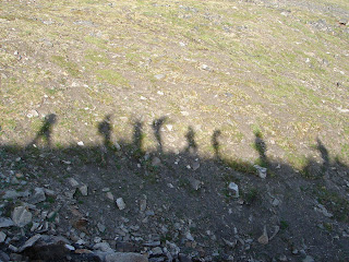
 After all that work, we unfortunately decided to head back down to the tundra to follow the original plan. By early afternoon we made it to the base of peak 7010. It was time to go up! We hiked up, up, up, and more up. It was amazing how high the peak seemed to be. I kept thinking we were almost there, and then I got to the next rise and found another one just beyond it! It was fairly nice hiking. Although we were climbing up talus slopes (lots of rocky material), the footing was fairly stable for majority of the trip up. We paused before the final push up to the top, what we joked was "basecamp." By then we could see the glacier beneath peak 7010. To be honest, I was so tired at that point, that I didn't even get a picture of the glacier. However, it was named by my predecessor, Will. Apparently when they hiked up to the glacier last year, he couldn't decide whether it looked like a spoon or a boomerang, thus the name "spoomerang" (since we all know how alike the two are ...). Anyway, we eventually pushed on from basecamp to the peak, which needless to say had some great views.
 After we made it to the top of peak 7010, we took some group pics (I still have to get these from Elissa) and then began our long venture back home. Peak 7010 led to a long ridge of carbonate rocks that led around to slopes of black shale (and more skree skiing!!). At the end of the first ridge, there was a tall rock formation that looked kind of like a castle. We decided to climb up the fist peak of the castle. At this point we were all a bit tired, and I think we were getting kind of punchy because at the time, we decided that the first peak must have been the castle's guest house....and we had to storm the guest house of the castle!
 This is a picture of our castle from the top of the guest house!
Afterwards, we decided it was time to head back... by then it was almost 8:00 and we still had quite a long way back. We continued our ridge hike to the black shale skree slopes and skree skiied all the way down! It was so much fun and definitely made my day! The hike down Trevor valley followed the skree skiing. We made slow progress through the rough terrain of the valley sludging through the soggy tundra and climbing over boulders. It was a rough end to the day.. We finally made it to the road by just past 11:00 pm and got into the trucks to head back to camp. Although ending the hike exhausted and hngry, it was still one of the best hikes I have been on yet!


No comments:
Post a Comment